
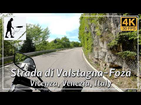
Valstagna is a small Italian village in the Brenta Valley (Valbrenta). The valley separates the plateau around Monte Grappa in the east and the Asiago plateau in the west. The approximately 14.5 km long ascent leads from the valley village of Vastagna to the village of Foza on the plateau. The climb covers an altitude difference of around 950 metres. Foza is one of the seven municipalities (Sette Communi) that formed a German-speaking enclave there from immigrant Bavarian farmers.
The first half of the ascent is the steepest, with numerous hairpin bends. The route here is very winding and often unclear. Further up on the plateau, you pass through forest and meadow areas. The route is well developed and easy to ride overall.
The climb from Valstagna to Foza is very popular with cyclists and has also been part of the Giro d’Italia.
The road is located in the Italian province of Vicenza in the Venezia region.
▬ Content ▬▬▬▬▬▬▬▬▬▬▬▬▬▬▬▬
00:00 Intro
00:15 Prolog
01:22 The Ride
20:42 And the Mavic spoke
24:42 Outro
▬ Links ▬▬▬▬▬▬▬▬▬▬▬▬▬▬▬▬▬
Playlist Italy: https://www.youtube.com/playlist?list=PLTYKWgwieoeK_DKMf6p7uRpSJtF_kd7G5
Playlist Passes: https://www.youtube.com/playlist?list=PLTYKWgwieoeK6AgzgiS20gB7sWXHpboC_
WalkTheMavic: https://www.youtube.com/channel/UCVKby-_mUxgoSbw19i30v6Q
▬ About this channel ▬▬▬▬▬▬▬▬▬▬▬▬
Walk The Mavic (WTM) – Interesting roads, passes and gorges in the Alps – Nature and landscapes – Castles, forts, fortresses and fortifications – Photos and videos, if possible and allowed, also aerial photos/videos with the drone.