
Description
From Lozo di Cadore, an Italian village in the Piave valley, a road leads up to Col Vidàl, situated to the north-west at an altitude of around 1,880 metres.
Up to the Rifugio Marmarole, which you reach after about 12 km, the road is narrow and winding but fully tarmac-surfaced. The road is so narrow overall that traffic is regulated by a one-way system. You may drive uphill from 09:00 to 13:00. Descending is permitted from 14:00 to 17:00.
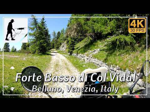
At Rifugio Marmarole, a gravel track – a former military road – turns sharply to the right. If this track is dry, it is easy to drive on. In wet conditions, however, the surface here quickly becomes slippery. You also have to drive through a narrow, unlit tunnel here.
After a further 5 km or so, you reach the old fortifications, which are spread over three levels. These consist of barracks, stores and, in the upper section, an artillery position.
In summer, this area is very popular with hikeers and cyclists. You should drive carefully. In winter, the upper access to Col Vidàl is closed to public traffic.
The road is located in the Italian province of Belluno in the Venezia region.
▬ Content ▬▬▬▬▬▬▬▬▬▬▬▬▬▬▬▬
00:00 Intro
00:15 Prolog
01:22 The Ride
32:59 And the Mavic spoke
36:59 Outro
▬ Links ▬▬▬▬▬▬▬▬▬▬▬▬▬▬▬▬▬
Playlist Italy: https://www.youtube.com/playlist?list=PLTYKWgwieoeK_DKMf6p7uRpSJtF_kd7G5
Playlist Passes: https://www.youtube.com/playlist?list=PLTYKWgwieoeK6AgzgiS20gB7sWXHpboC_
WalkTheMavic: https://www.youtube.com/channel/UCVKby-_mUxgoSbw19i30v6Q
▬ About this channel ▬▬▬▬▬▬▬▬▬▬▬▬
Walk The Mavic (WTM) – Interesting roads, passes and gorges in the Alps – Nature and landscapes – Castles, forts, fortresses and fortifications – Photos and videos, if possible and allowed, also aerial photos/videos with the drone.