
Description
Valmalenco is a side valley of Valtellina (Veltlin) north of the provincial capital Sondrio. About 4 km east of the village of Chiesa in Valmalenco lies the village of Tornadri, where the actual ascent to the Compo Moro reservoirs (Bacino di Campo Moro) begins at an altitude of just under 1100 metres.
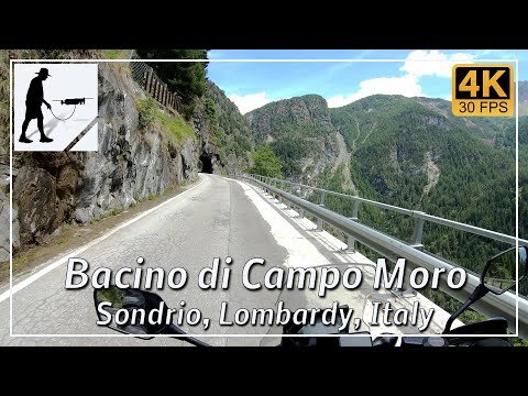
When construction of the two reservoirs, Campo Moro and Alpe Gera, and the hydroelectric power stations began in the 1960s, it was also necessary to build an access road. Parts of an existing road were upgraded and a new road was built in the upper section. This road, which passes the Compo Moro reservoir and ends below the dam wall of the Alpe Gera reservoir, is about 14 km long and climbs about 900 metres in altitude.
The road is well constructed, maintained, paved throughout and easy to drive on overall. However, there are some unlit tunnels, especially in the upper part, which can also be somewhat narrow.
The road is located in the Italian province of Sondrio in the Lombardy region.
▬ Content ▬▬▬▬▬▬▬▬▬▬▬▬▬▬▬▬
00:00 Intro
00:15 Prolog
01:22 The Ride – There…
22:10 The Ride – …and Back Again
42:46 And the Mavic spoke
46:46 Outro
▬ Links ▬▬▬▬▬▬▬▬▬▬▬▬▬▬▬▬▬
Playlist Italy: https://www.youtube.com/playlist?list=PLTYKWgwieoeK_DKMf6p7uRpSJtF_kd7G5
Playlist Passes: https://www.youtube.com/playlist?list=PLTYKWgwieoeK6AgzgiS20gB7sWXHpboC_
WalkTheMavic: https://www.youtube.com/channel/UCVKby-_mUxgoSbw19i30v6Q
▬ About this channel ▬▬▬▬▬▬▬▬▬▬▬▬
Walk The Mavic (WTM) – Interesting roads, passes and gorges in the Alps – Nature and landscapes – Castles, forts, fortresses and fortifications – Photos and videos, if possible and allowed, also aerial photos/videos with the drone.