
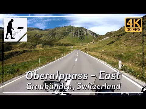
The Oberalp Pass is 2,044 meters high and connects the valley town of Sedrun in the east with the valley town of Andermatt in the west. The entire pass crossing is about 32 km long, with about 21 km on the eastern ascent and about 11 km on the western ascent. Around 1860, the pass was upgraded to a road, which is now very easy to drive on and connects the Swiss cantons of Graubünden and Uri.
In winter, the area around the Oberalp Pass is used as a ski resort and the street is closed from around November to May. The Oberalp Pass can also be crossed (all year round) by the Matterhorn-Gotthard Railway. There is a large railway station at the top of the pass. The source of the Rhine River is located in the vicinity of the Oberalp Pass. The river flows from Switzerland into Lake Constance and then through Germany and the Netherlands into the North Sea.
The eastern ascent of the pass road is located in the municipality of Surselva in the Swiss canton of Graubünden.
▬ Content ▬▬▬▬▬▬▬▬▬▬▬▬▬▬▬▬
00:00 Intro
00:15 Prolog
01:22 The Ride
13:10 Outro
▬ Links ▬▬▬▬▬▬▬▬▬▬▬▬▬▬▬▬▬
Playlist Swiss: https://www.youtube.com/playlist?list=PLTYKWgwieoeLPJhJy01LzHE2x9zzfpATE
Playlist Passes: https://www.youtube.com/playlist?list=PLTYKWgwieoeK6AgzgiS20gB7sWXHpboC_
WalkTheMavic: https://www.youtube.com/channel/UCVKby-_mUxgoSbw19i30v6Q
▬ About this channel ▬▬▬▬▬▬▬▬▬▬▬▬
Walk The Mavic (WTM) – Interesting roads, passes and gorges in the Alps – Nature and landscapes – Castles, forts, fortresses and fortifications – Photos and videos, if possible and allowed, also aerial photos/videos with the drone.