
Description
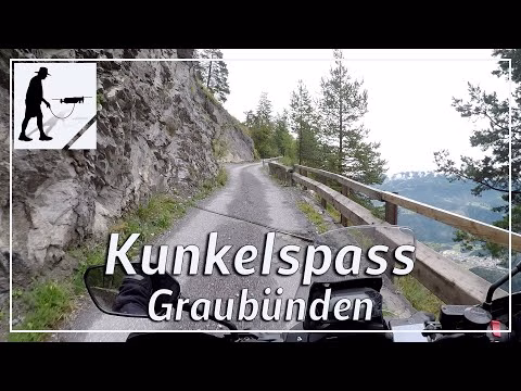
The Kunkelspass connects the towns of Vättis in the canton of St. Gallen in the north and Tamins in Graubünden in the Bündner Rheintal in the south. The pass is located in the Glarner Alps and overcomes a sea level of about 1350 m. While the north ascent is almost straight and almost continuously asphalted and has only a moderate gradient, the south ascent offers greater challenges. It is over 20% steep in some places, is only gravelled in the upper part for almost 4 km and has a longer unlit tunnel cut into the limestone about 1 km before the summit. The route is also subject to tolls. At the local government you have to pay 10 Fr for a motorcycle or 20 Fr for a car.
▬ Content ▬▬▬▬▬▬▬▬▬▬▬▬▬▬▬▬
00:00 Intro
00:15 Prolog
01:08 The Ride
14:46 Outro
▬ Links ▬▬▬▬▬▬▬▬▬▬▬▬▬▬▬▬▬
Playlist Switzerland: https://www.youtube.com/playlist?list=PLTYKWgwieoeLPJhJy01LzHE2x9zzfpATE
Playlist Passes: Playlist Pässe: https://www.youtube.com/playlist?list=PLTYKWgwieoeK6AgzgiS20gB7sWXHpboC_
WalkTheMavic: https://www.youtube.com/channel/UCVKby-_mUxgoSbw19i30v6Q
▬ About this channel ▬▬▬▬▬▬▬▬▬▬▬▬
Walk The Mavic (WTM) – Interesting roads, passes and gorges in the Alps – Nature and landscapes – Castles, forts, fortresses and fortifications – Photos and videos, if possible and allowed, also aerial photos/videos with the drone.