
Description
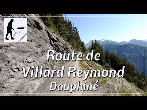
The Route de Villard Reymond is the connecting path between Villard Notre-Dame and Villard Reymond, about 5 km long. It is a high-altitude road that leads over the Col de Solude pass (about 1680 meters) and is not paved but only gravelled for just under 3 km on the Villard Reymond side. However, the road is easy to drive on the whole and you have a good view to the east into the valley of the Romanche, whose main town is Le Bourg d'Oisans. The road is located in the department of Auvergne-Rhône-Alpes / Isère and there in the Dauphiné Alps.
▬ Content ▬▬▬▬▬▬▬▬▬▬▬▬▬▬▬▬
00:00 Intro
00:15 Prolog
00:52 The Ride
12:32 Outro
▬ Links ▬▬▬▬▬▬▬▬▬▬▬▬▬▬▬▬▬
Playlist France: https://www.youtube.com/playlist?list=PLTYKWgwieoeK4dDbNJy2hHub-Z9y8Fz89
Playlist Passes: https://www.youtube.com/playlist?list=PLTYKWgwieoeK6AgzgiS20gB7sWXHpboC_
WalkTheMavic: https://www.youtube.com/channel/UCVKby-_mUxgoSbw19i30v6Q
▬ About this channel ▬▬▬▬▬▬▬▬▬▬▬▬
Walk The Mavic (WTM) – Interesting roads, passes and gorges in the Alps – Nature and landscapes – Castles, forts, fortresses and fortifications – Photos and videos, if possible and allowed, also aerial photos/videos with the drone.