
Description
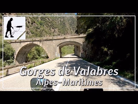
The M2205 road starts about 30 km north of the Mediterranean coast at the confluence of the Var and Tinée rivers. The Var River comes from the west; the Tinée River, which rises near the Col de la Bonette (2715), comes from the north. The road always runs along the Tinée river until, shortly after the village of Saint-Etienne-de-Tinée, it becomes the southern ascent to the Col de la Bonette pass. On the way north, the road passes through the villages of La Courbaisse, La Condamine, Pont de Clans and Saint-Sauveur-sur-Tinée, for example. In the surroundings of Saint-Sauveur-sur-Tinée, the gorge "Gorges de Valabres" is characterised by a distinct red colouring of the rock. The road is clearly laid out, well constructed and easy to drive.
The southernmost section of this road leads through the "Defilé du Chaudan".
https://youtu.be/87KeJv38lqQ
This is followed by the "Route de la Tinée".
https://youtu.be/E9AcIwgFc7M
The road is located in the province of Provence-Alpes-Côte d'Azur and there in the department of Alpes-Maritimes / Maritime Alps.
▬ Content ▬▬▬▬▬▬▬▬▬▬▬▬▬▬▬▬
00:00 Intro
00:15 Prolog
00:57 The Ride
14:05 Outro
▬ Links ▬▬▬▬▬▬▬▬▬▬▬▬▬▬▬▬▬
Playlist France: https://www.youtube.com/playlist?list=PLTYKWgwieoeK4dDbNJy2hHub-Z9y8Fz89
Playlist Gorges: https://www.youtube.com/playlist?list=PLTYKWgwieoeJHap1bKTsn_Pcjo8_V89rP
WalkTheMavic: https://www.youtube.com/channel/UCVKby-_mUxgoSbw19i30v6Q
▬ About this channel ▬▬▬▬▬▬▬▬▬▬▬▬
Walk The Mavic (WTM) – Interesting roads, passes and gorges in the Alps – Nature and landscapes – Castles, forts, fortresses and fortifications – Photos and videos, if possible and allowed, also aerial photos/videos with the drone.