
Description
The route through the Valle del Mis leads from the village of Mis/Sospirolo in the south to Lambroi in the north and is just under 14 km long. The valley is located in the Parco Nazionale Dolomiti Bellunesi national park.
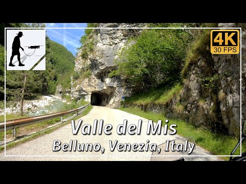
The first half of the route passes the Lago del Mis reservoir, whose dam was built at the entrance to the valley around 1960. North of the lake, the valley becomes increasingly narrow and turns into a steep, rocky gorge. In this area, there are also several tunnels carved into the rock to drive through.
The road is located in the Italian province of Belluno in the Veneto region.
▬ Content ▬▬▬▬▬▬▬▬▬▬▬▬▬▬▬▬
00:00 Intro
00:15 Prolog
01:22 The Ride
17:40 And the Mavic spoke
21:40 Outro
▬ Links ▬▬▬▬▬▬▬▬▬▬▬▬▬▬▬▬▬
Playlist Italy: https://www.youtube.com/playlist?list=PLTYKWgwieoeK_DKMf6p7uRpSJtF_kd7G5
Playlist Gorges: https://www.youtube.com/playlist?list=PLTYKWgwieoeJHap1bKTsn_Pcjo8_V89rP
WalkTheMavic: https://www.youtube.com/channel/UCVKby-_mUxgoSbw19i30v6Q
▬ About this channel ▬▬▬▬▬▬▬▬▬▬▬▬
Walk The Mavic (WTM) – Interesting roads, passes and gorges in the Alps – Nature and landscapes – Castles, forts, fortresses and fortifications – Photos and videos, if possible and allowed, also aerial photos/videos with the drone.