
Description
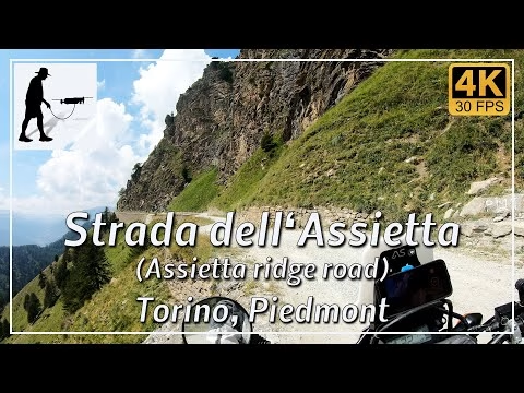
The Strada dell'Assietta (SP173) is an approximately 27 km long military road that stretches from Pian dell'Alpe in the north-east to Colle Basset in the south-west. The road was built at the same time as a number of fortresses at the end of the 19th century and was used to supply them. The fortresses and the road are all situated at an altitude of between 2,000 and 2,500 metres and thus provide an overview of the Susa Valley in the north with the villages of Susa and Sauze d'Oulx and the Chisone Valley in the south with the villages of Fenestrelle and Sestriere.
The eastern access to the Strada dell'Assietta is at Pian dell'Alpe, which can be reached from the village of Fenestrelle/Pourrieres in the Chisone Valley via the southern ramp of the ascent to Colle delle Finestre (SP172). From the main road SP23R in the Chisone Valley, it is about 8 km on a good tarmac road.
The western access road starts in the ski resort of Sestriere and leads to Colle Basset after about 7 km. Here the access road is a gravel road throughout.
The section between Pian dell'Alpe and Colle Basset is part of the Assietta National Park, which is why leaving the route here can be severely penalised. As a rule, this section of the route is open from 1 June to 30 October. In July and August, motorised vehicles are prohibited on Wednesdays and Saturdays between 09:00 and 17:00. In addition, the route is closed on 19 July for the celebrations of the ‘great Savoy-Piedmontese victory’ in 1747.
The route is a well-maintained gravel road that is easy to drive on in dry and good weather. However, when it rains and is wet, the clay sections quickly become slippery and difficult to drive on.
The road is located in the Italian province of Torino in the Piedmont region.
▬ Content ▬▬▬▬▬▬▬▬▬▬▬▬▬▬▬▬
00:00 Intro
00:15 Prolog
01:32 The Ride
49:31 And the Mavic spoke…
53:33 Outro
▬ Links ▬▬▬▬▬▬▬▬▬▬▬▬▬▬▬▬▬
Playlist Italy: https://www.youtube.com/playlist?list=PLTYKWgwieoeK_DKMf6p7uRpSJtF_kd7G5
Playlist Passes: https://www.youtube.com/playlist?list=PLTYKWgwieoeK6AgzgiS20gB7sWXHpboC_
WalkTheMavic: https://www.youtube.com/channel/UCVKby-_mUxgoSbw19i30v6Q
▬ About this channel ▬▬▬▬▬▬▬▬▬▬▬▬
Walk The Mavic (WTM) – Interesting roads, passes and gorges in the Alps – Nature and landscapes – Castles, forts, fortresses and fortifications – Photos and videos, if possible and allowed, also aerial photos/videos with the drone.