
Description
The Passo Dordona forms a road connection between the towns of Foppolo in the Brembana Valley in the province of Bergamo in the south and Fusine in Valtellina in the province of Sondrio in the north. Both passes are located in the Lombardy region. The pass is 2,063 meters high. The southern ascent is relatively short at around 4 km, as the winter sports resort of Foppolo itself is located at an altitude of around 1615 meters, meaning that only around 450 meters of elevation need to be overcome. The northern ascent from Fusine is around 18 km long. The entire crossing is therefore around 22 km long.
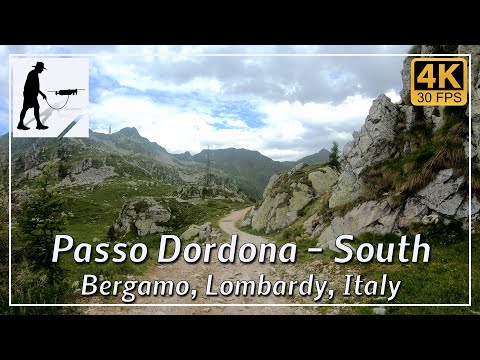
The southern ascent is paved for the first third; after that, the road becomes a partly rough gravel road, which is repeatedly interrupted by paved sections, especially on steep sections.
On the northern ascent, well over half of the route is asphalted or concrete. After that, the road becomes a partly rough gravel road, which is often interrupted by concrete sections on some steep sections. On the southern side of the pass, at an altitude of approximately 1935 meters and about 1.5 km before the pass summit, you will find the Rifugio Dordona.
A permit is required to drive on the pass, which is currently available for €5 from the municipal administrations or bars in the above-mentioned towns.
The road is located in the Italian province of Bergamo in the Lombardy region.
▬ Content ▬▬▬▬▬▬▬▬▬▬▬▬▬▬▬▬
00:00 Intro
00:15 Prolog
01:22 The Ride
10:02 And the Mavic spoke
14:02 Outro
▬ Links ▬▬▬▬▬▬▬▬▬▬▬▬▬▬▬▬▬
Playlist Italy: https://www.youtube.com/playlist?list=PLTYKWgwieoeK_DKMf6p7uRpSJtF_kd7G5
Playlist Passes: https://www.youtube.com/playlist?list=PLTYKWgwieoeK6AgzgiS20gB7sWXHpboC_
WalkTheMavic: https://www.youtube.com/channel/UCVKby-_mUxgoSbw19i30v6Q
▬ About this channel ▬▬▬▬▬▬▬▬▬▬▬▬
Walk The Mavic (WTM) – Interesting roads, passes and gorges in the Alps – Nature and landscapes – Castles, forts, fortresses and fortifications – Photos and videos, if possible and allowed, also aerial photos/videos with the drone.