
Description
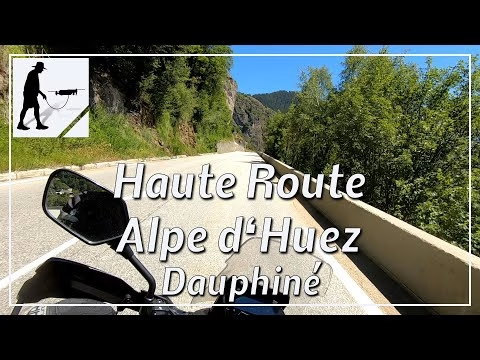
The D211 road begins at a traffic circle east of Le Bourg d'Oisans and leads from there up about 13 km to the village in the Alpe d'Huez ski area. The well-built and easily passable road overcomes thereby in many serpentines approx. 1100 meters of altitude and leads thereby also past the village of Huez. The road is located on the east side of the valley of the Romanche, whose main town is Le Bourg d'Oisans, up the mountain. The road is located in the department of Auvergne-Rhône-Alpes / Isère and there in the Dauphiné Alps.
▬ Content ▬▬▬▬▬▬▬▬▬▬▬▬▬▬▬▬
00:00 Intro
00:15 Prolog
00:58 The Ride
15:16 Outro
▬ Links ▬▬▬▬▬▬▬▬▬▬▬▬▬▬▬▬▬
Playlist France: https://www.youtube.com/playlist?list=PLTYKWgwieoeK4dDbNJy2hHub-Z9y8Fz89
Playlist Passes: https://www.youtube.com/playlist?list=PLTYKWgwieoeK6AgzgiS20gB7sWXHpboC_
WalkTheMavic: https://www.youtube.com/channel/UCVKby-_mUxgoSbw19i30v6Q
▬ About this channel ▬▬▬▬▬▬▬▬▬▬▬▬
Walk The Mavic (WTM) – Interesting roads, passes and gorges in the Alps – Nature and landscapes – Castles, forts, fortresses and fortifications – Photos and videos, if possible and allowed, also aerial photos/videos with the drone.