
Description
A total of 4 major ascents lead up to the 2481 metre high Colle della Fauniera.
1. from the Italian town of Demonte, the approximately 24 km long, fully asphalted ascent leads through the Valone dell'Arma in a north-westerly direction. Just 2 km before the Colle Fauniera, you also pass the Colle Valcavera, which at 2421 metres is only slightly lower.
2. coming from the north-west, a gravel road, the Maira-Stura ridge road, meets the Colle Valcavera (2421 metres). From here it is less than 2 kilometres to Colle Fauniera. The Maira-Stura ridge road begins to the north in the village of Marmora. The last 15 km of this stretch is an unpaved gravel road.
3. the SP113 road to Colle Fauniera, which is asphalted throughout, also begins in the village of Marmora. The approximately 17 km long ascent first reaches the Colle d'Esischie (2370 metres) and then the Colle Fauniera just 1 km further on.
4. the SP333 road leads from the east through the Valle Grana, first past the Colle d'Esischie to the Colle Faueira. The road is asphalted throughout and from the village of Campomolino it is about 15 kilometres.
Colle Fauniera is also known as Colle dei Morti because of the fierce and bloody fighting that took place here during the world wars. Today, the area is a popular destination for hikers, cyclists and motorcyclists. A monument to the famous cyclist Pantani, which was erected on Colle Fauniera, honours his sporting achievements.
From the Italian town of Dronero, the SP422 road heads west for around 30 kilometres before turning south onto the SP113 road at Ponte Marmora. After another 4 km or so, you will reach the village of Marmora, where the actual ascent to Colle Fauniera begins. From here, the ascent is about 17 kilometres long and leads mostly in a southerly direction. The road has only one lane and is quite confusing in some places, especially in the lower half. Although the road has already been repaired in some places, you have to watch out for some large potholes and road damage. Cyclists and pedestrians are also to be expected. At the Colle d'Esischie, the SP113 road joins the ascent to the pass from the east through the Valle Grana.
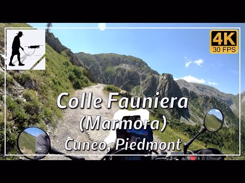
The road is located in the Italian province of Cuneo in the Piedmont region.
▬ Content ▬▬▬▬▬▬▬▬▬▬▬▬▬▬▬▬
00:00 Intro
00:15 Prolog
01:22 The Ride
30:31 Outro
▬ Links ▬▬▬▬▬▬▬▬▬▬▬▬▬▬▬▬▬
Playlist Italy: https://www.youtube.com/playlist?list=PLTYKWgwieoeK_DKMf6p7uRpSJtF_kd7G5
Playlist Passes: https://www.youtube.com/playlist?list=PLTYKWgwieoeK6AgzgiS20gB7sWXHpboC_
WalkTheMavic: https://www.youtube.com/channel/UCVKby-_mUxgoSbw19i30v6Q
▬ About this channel ▬▬▬▬▬▬▬▬▬▬▬▬
Walk The Mavic (WTM) – Interesting roads, passes and gorges in the Alps – Nature and landscapes – Castles, forts, fortresses and fortifications – Photos and videos, if possible and allowed, also aerial photos/videos with the drone.