
Description
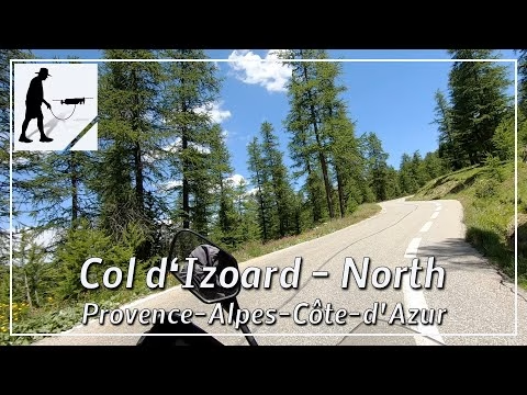
The Col d'Izord is a road pass, about 2360 meters high, which connects the valley of the Guil in the south with the valley of the Cerveyette in the north. Coming from Briançon, you first drive in an easterly direction until you reach the village of Cervières after about 8 km. Here the road turns to the south and the actual pass ascent, which is about 10 km long, begins. Some long straights alternate with sections in which one serpentine follows the other. You pass through a beautiful forest area that ends just before the Refuge Napoléon. From there it is only 1 km to the top of the pass. The road is two lanes very well developed and provided throughout with a marked bicycle lane. The Col d'Izoard crossing has been a stage of the Tour de France several times and is a popular destination for cyclists and motorcyclists.
The road is located in the department of Hautes-Alpes and there in the province of Provence-Alpes-Côte d'Azur.
▬ Content ▬▬▬▬▬▬▬▬▬▬▬▬▬▬▬▬
00:00 Intro
00:15 Prolog
01:15 The Ride
13:47 Outro
▬ Links ▬▬▬▬▬▬▬▬▬▬▬▬▬▬▬▬▬
Playlist France: https://www.youtube.com/playlist?list=PLTYKWgwieoeK4dDbNJy2hHub-Z9y8Fz89
Playlist Passes: https://www.youtube.com/playlist?list=PLTYKWgwieoeK6AgzgiS20gB7sWXHpboC_
WalkTheMavic: https://www.youtube.com/channel/UCVKby-_mUxgoSbw19i30v6Q
▬ About this channel ▬▬▬▬▬▬▬▬▬▬▬▬
Walk The Mavic (WTM) – Interesting roads, passes and gorges in the Alps – Nature and landscapes – Castles, forts, fortresses and fortifications – Photos and videos, if possible and allowed, also aerial photos/videos with the drone.