
Description
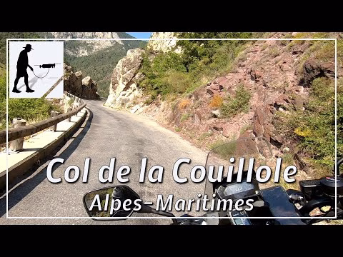
Less than 1 km north of the village of Saint-Sauveur-sur-Tinée, which lies in the Tinée valley on the M2205 road, the ascent to the Col de la Couillole branches off to the west. First you have to cross the Tinée river over a bridge, then the M30 road leads steeply uphill in several switchbacks on the west side of the gorge. A little later, the road turns west and you continue on the north side of the Vionène valley. On the way to the village of Roubion, you also have to go through two tunnels. After Roubion, the route continues uphill through the village of Le Villars to the top of the pass. The distance to the village of Roubion is about 10 km; the total distance to the pass is about 17 km. The road is well-maintained, clearly laid out and generally easy to drive. The road is located in the province of Provence-Alpes-Côte d'Azur and there in the department of Alpes-Maritimes / Maritime Alps.
▬ Content ▬▬▬▬▬▬▬▬▬▬▬▬▬▬▬▬
00:00 Intro
00:15 Prolog
01:15 The Ride
23:09 Outro
▬ Links ▬▬▬▬▬▬▬▬▬▬▬▬▬▬▬▬▬
Playlist France: https://www.youtube.com/playlist?list=PLTYKWgwieoeK4dDbNJy2hHub-Z9y8Fz89
Playlist Passes: https://www.youtube.com/playlist?list=PLTYKWgwieoeK6AgzgiS20gB7sWXHpboC_
WalkTheMavic: https://www.youtube.com/channel/UCVKby-_mUxgoSbw19i30v6Q
▬ About this channel ▬▬▬▬▬▬▬▬▬▬▬▬
Walk The Mavic (WTM) – Interesting roads, passes and gorges in the Alps – Nature and landscapes – Castles, forts, fortresses and fortifications – Photos and videos, if possible and allowed, also aerial photos/videos with the drone.